Route info
| Starting postcode | BB12 9JX |
| Nearest pub | Pendle Inn |
| Stay over | Pendle Inn |
| Distance | 4.86 miles |
| Low point | 222 metres |
| High point | 550 metres |
| Total ascent | 400 metres |
| Calories estimate | 750 – 1,250 |
| Steps | 10,000 |
| Cows | Not today |
| OK for dogs | On leads |
| Bogs | Muddy in places and Pendle Hill can have some bogs |
| Difficulty | Easy to Medium |
Nearby walk
Other Links
Map
Route description
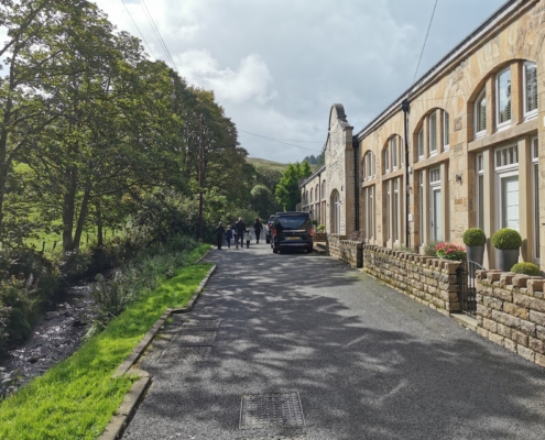
Today we had a lovely drive through Clitheroe and Downham before parking in the quintessentially English village of Barley to begin our Pendle Hill walk.
Barley (meaning ‘Infertile Meadow’) is a very small village in the Borough of Pendle and it sits between the four upper and lower Black Moss and Ogden Reservoirs, which are all part of the Forest of Bowland Area of Outstanding Natural Beauty (AONB). There is a small Pay and Display Car Park just off Barley Road in the village centre. The road runs alongside the picturesque White Hough Water and it’s a great spot to have a picnic. White Hough Water flows eastwards to meet Pendle Water and eventually the River Calder in Reedley, just outside of Burnley.
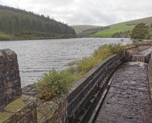
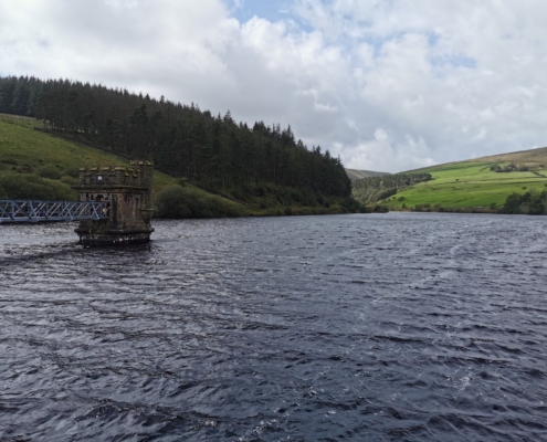
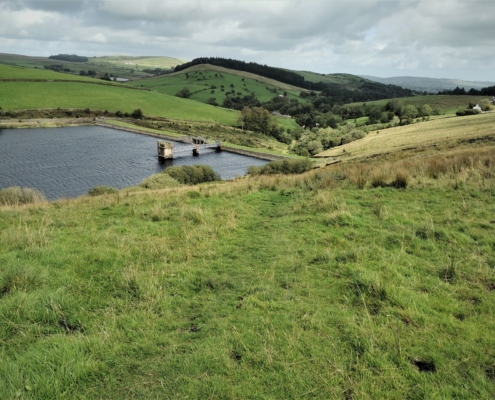
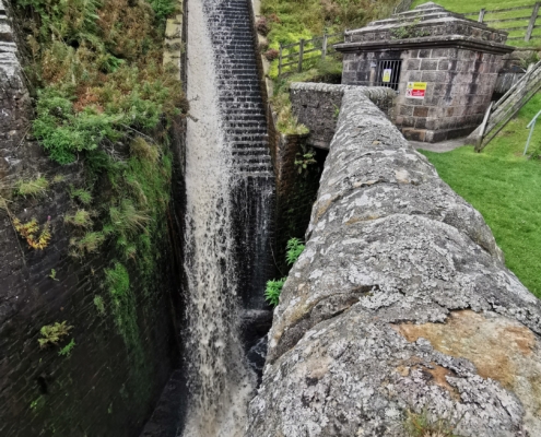
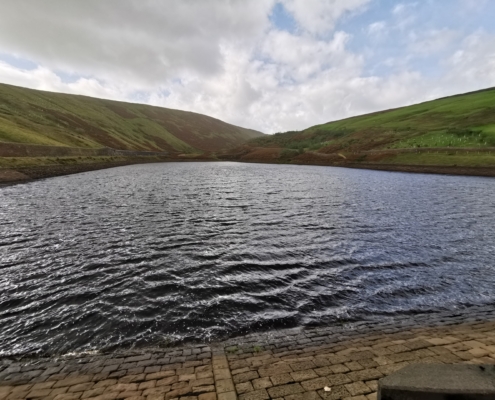
Once parked, we set off on our Pendle Hill walk along Barley Green Lane, which begins right alongside the Village Hall and tracks the outflow from Lower Ogden Reservoir. Both lower and upper Ogden reservoirs supply drinking water to the Nelson area. We continued up the lane and passed through the gate that leads onto the path over the reservoir dam on its eastern edge.
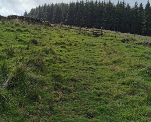
From here we crossed the stile into what was, today, a rather boggy field and then headed diagonally across to the gate that leads into Fell Wood. The wood was planted in 1931 with Spruce, Pine and Larch trees and is only small, but it has a lovely open feel about it and good steps back down towards the stream.
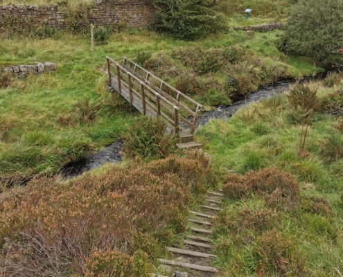
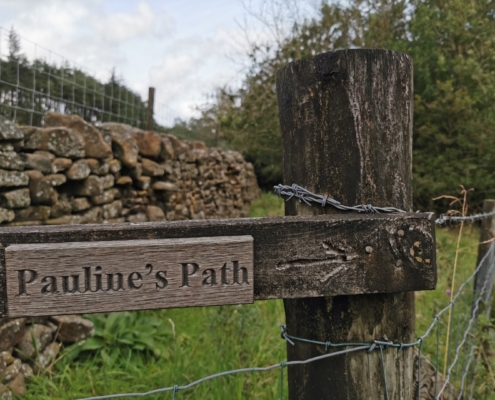
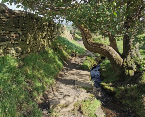
Exiting the wood, we crossed the wooden footbridge and followed a narrow but distinct water-side path (known as ‘Pauline’s Path’, not sure why) alongside Buttock Plantation and towards the path that leads to the Upper Ogden Reservoir.
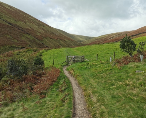
We actually took the steps up to the small reservoir and then followed its northern side. This leads you through a gate and onwards into the Ogden Valley Greenway, which is really quite enchanting.
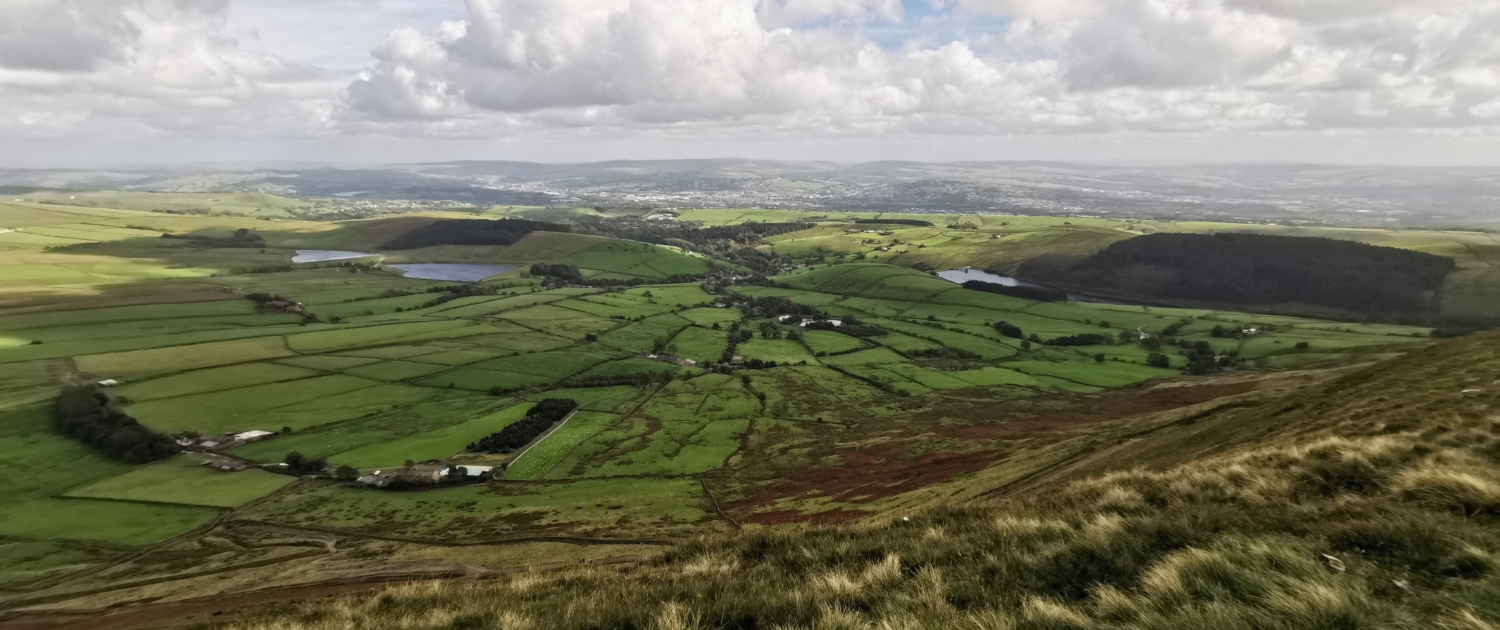
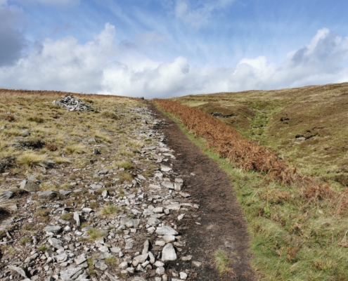
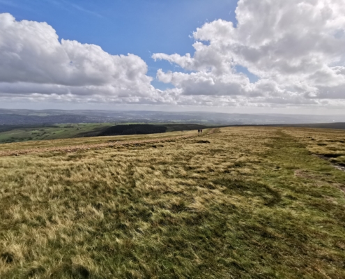
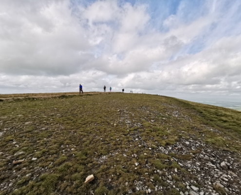
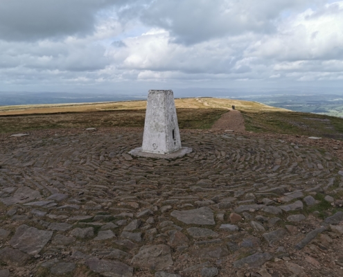
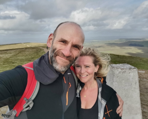
Not far along here, we took the fairly steep and rocky path up Boar Clough to reach the saddle of Barley Moor and on to the Trig Point of the Pendle Hill walk, which sits at 557 metres (known as Beacon or Big End). You could continue past Boar Clough and head up to the top of the Pendle Hill walk via Ogden Clough. Once you reach the path across the windswept Barley Moor, it’s just a really easy and steady incline up to Big End. From here you have views all the way across to Ingleborough in the Yorkshire Dales and further westwards towards the Lakeland Fells.
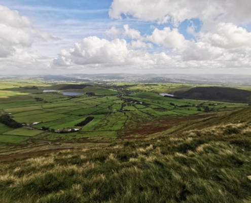
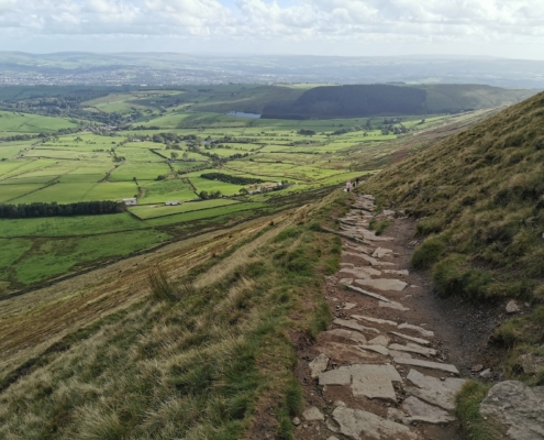
Whilst you are at the top, take care on the east side as there is quite a steep drop. At this point, we took the well-trodden steps down to where a lot of people begin their Pendle Hill walk. From the upper steps, views stretch across to Pendle Bridge Wood, Stang Top Moor and then in the distance to the urban areas of Burnley, Nelson and Colne.
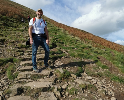
After passing many exhausted looking and sounding folk climbing the steps to Big end, we reached the bottom and passed the farm (there’s a small refreshments hut serving hot and cold drinks) and through fields alongside the stream back into village, which forms part of the Pendle Way. After a short distance, the path passes through Ing Ends and meets the road back into the village. Here is not a bad place to stop for refreshments at The Pendle Inn or the Barley Mow.
