Forest of Bowland walks
Choose your walk from the map or find a walk from the list below

Choose your walk from the map or find a walk from the list below
In this section
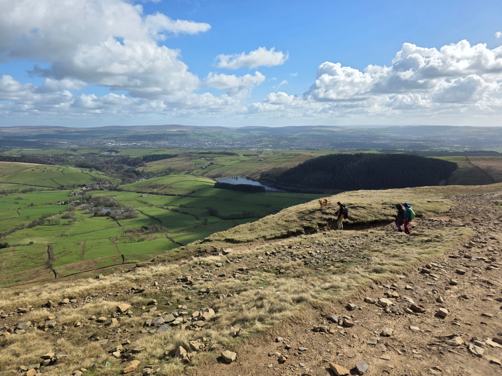
Discover one of Lancashire's best walks with this scenic Pendle Hill route from Barley. Follow a beautiful trail through the Forest of Bowland, past Ogden Clough Reservoirs, to the summit of Pendle Hill, with stunning views, parking tips and a well-earned stop at The Pendle Inn.
Mar 2026
Nikky Nook circular Our first Nikky Nook circular of 2022, on a delightful sunny spring afternoon. Route info Starting postcode PR3 1DW Nearest pub
May 2022
A pleasant, easy walk from Jeffrey Hill up to Spire Hill. All of which are collectively known as Longridge Fell. Route info Starting postcode PR3 2TT
Aug 2021
Bleasdale walk A pleasant walk around the tiny village of Bleasdale. Route info Starting postcode PR3 1UN Nearest pub Stay over Distance 6.3 miles Low
Aug 2021
Today we chose a short Calder Vale walk as we had our new pup, Pickle with us. It was her very first Forest of Bowland walk, and she loved it! Nearby walk
Jul 2021
3 mile Cow Ark walk on a hot, sunny Bank Holiday weekend. Nearby walk Bowland with Leagram Route info Starting postcode BB7 3DF Nearest pub Inn at
May 2021
This beautiful Stocks Reservoir walk takes you on a delightful circular track around the reservoir. Route info Starting postcode BB7 4TS Nearest pub Stay
May 2021
Our first circular walk in 2021 was a beautiful walk along Langden Brook, and back along Haredon Brook. Route info Starting postcode BB7 3BH Nearest pub
Apr 2021
A nice, easy Slaidburn walk as autumn sets in. Route info Starting postcode BB7 3ES Nearest pub Hark to Bounty Stay over Inn at Whitewell Distance 4.5
Oct 2020
A late Summer, sunny, scenic Pendle Hill walk Route info Starting postcode BB12 9JX Nearest pub Pendle Inn Stay over Pendle Inn Distance 4.86 miles Low
Sept 2020
A very wet and windy, but enjoyable River Hodder walk. Route info Starting postcode BB7 3LP Nearest pub Red Pump Inn Stay over Red Pump Inn Distance
Aug 2020
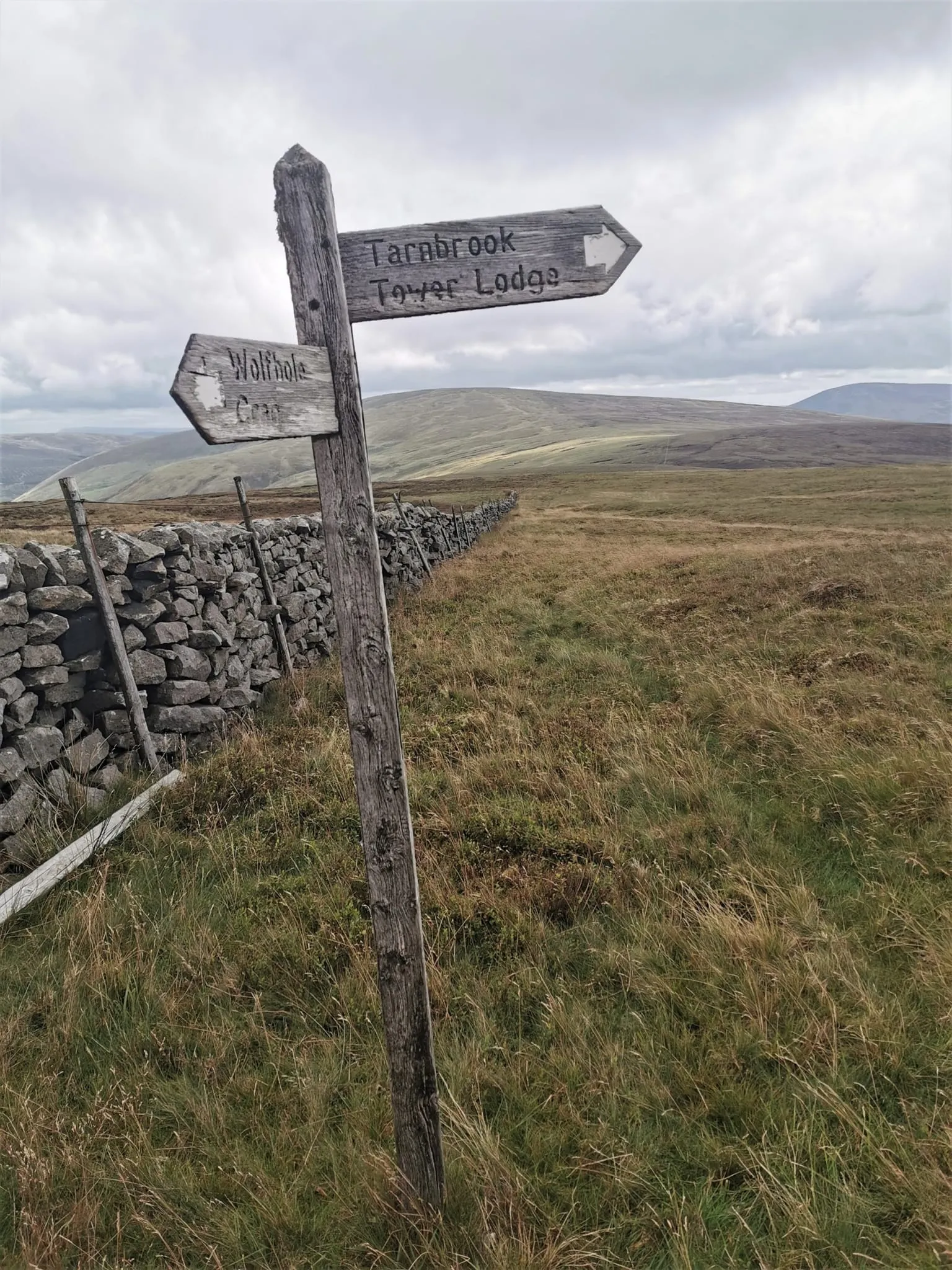
A challenging 10.25 mile walk, taking in Tarnbrook Wyre waterfalls, Wolfhole Crag and Whitendale Hanging Stones at the geographical centre of the UK.
Aug 2020
Marles Wood walk A glorious summer evening walk along the River Ribble at Marles Wood. Route info Postcode BB6 8AL Map Reference 53.815611, 2.492815 Low
Jun 2020
Route info Postcode PR3 2TT Map Reference 53.855533, 2.541997 Low Point 250 m High Point 344 m Distance 4.81 km 3 miles Difficulty Very easy Cows None
May 2020
Fair Snape Fell walk A fine saunter over the fabulous stack that is Fair Snape Fell. Route info Postcode PR3 2NP Map Reference 53.894273, 2.610444 Low
May 2020
Tim writes: Never having been a fan of linear walks, today I walked a circular route that includes the low summit of Nicky Nook, which is an easy walk on
Jan 2020
Tim and Waj embark on a snowy walk up to Grit Fell and Clougha Pike. Parking at Rigg Lane car park the top of Clougha looked frosty, but it wasn't
Dec 2019
This Hodder Bank Fell walk takes a slightly different route to the last time we walked it, which is here . The route starts at Dunsop Bridge where there
Jul 2019
Just outside of the Forest of Bowland boundary is the lovely little village of Clapham, which is a fantastic base to explore northern Bowland and the
Jun 2019
Longridge Fell is a walk we've done many times. Tim lived around the corner and has spent many hours exploring the entire fell. The route taken taken
Jun 2019
Tim, Waj & Dan take a Saturday morning walk up to Nicky Nook trig point, coming back along Grizedale Reservoir. This short 3 mile walk is easily
Jun 2019
Littledale walk This walk was a delightful short walk in Littledale before the rain came in. Littledale is known locally for its bluebells which, because
Jun 2019
Parlick, Fair Snape & Saddle Fell circular It was still a little chilly but you could feel Spring was around the corner. This is a walk we've done quite a
Mar 2019
Bowland Knotts is a rocky outcrop set next to Keasden Road, between St0cks Reservoir and Clapham, at the north east end of the Forest of Bowland. The trig
Feb 2019
Nicky Nook is a small fell (214 metres) on the very western edge of the Forest of Bowland, and is just a short distance from the village of Scorton near
Dec 2018
Newer extended circular walk here A stroll along Langden Valley On a cold, crisp but stunningly clear day, Tim, Waj and Dave head up the beautiful Langden
Oct 2018
The Tolkien Trail from The Shireburn Arms Hotel Tolkien Trail The Ribble Valley Tolkien Trail takes you on a journey through the footsteps of J.J.R.
Oct 2018
Ribble Valley ramble Waj and Tim head off for a relatively easy ramble on West Bradford Fell which is near the Newton Fells above Clitheroe. The Forest of
Oct 2018
Tim writes (31/05/2020): An extended Nicky Nook circular walk from May 2017. Route info Postcode PR3 1BA Map Reference 53.934772, 2.747481 Low Point 73 m
May 2017
Calder Vale Today was a day for a really gentle stroll, so Tim and Waj took an easy 2 mile circular route from the pretty village of Calder Vale, which
May 2017
Ward’s Stone shooter’s tracks Tim writes (19/04/2020): Today was an impromptu visit to Abbeystead which then turned into a walk near Ward’s Stone Summit.
Apr 2017
If you've never been to Abbesytead you'll soon realise how beautiful it is as you park at Stoops Bridge. There is enough parking for about eight cars and
Apr 2016
Beacon Hill The walk up to Beacon Hill starts in the Hamlet of Holden, which is near to Bolton by Bowland, and meanders along farm tracks until reaching
Feb 2016
Pendle Hill Pendle Hill is perhaps the most famous hill in Lancashire due to its association with the Pendle witches. It is an isolated hill, sitting 557
Oct 2015
Tim writes: This Clitheroe walk starts in the town centre it might be better to start at Eddisford Bridge or modify the route to take in the castle
Aug 2015
Hodder Bank Fell overlooks Dunsop Bridge which is where we start and finish the walk. There is a car park and some other spaces in Dunsop Bridge which is
Aug 2015
Tim writes: On the very edge of the Forest of Bowland is the village of Clapham, which is where our walk up to Ingleborough starts. Ingleborough mountain
Jul 2015
Stocks Reservoir is situated towards the north eastern corner of Lancashire, in the Forest of Bowland. The area borders North Yorkshire and was indeed
Jul 2015
Sawley not complete Today we walk the dog around Sawley and end up wading through the River Ribble, so it is perhaps not recommended after rain. But great
Jun 2015
Tim writes: Today was a perfect afternoon for a summer's walk around the woods and farms near Hurst Green in the Ribble Valley. This Hurst Green walk
Jun 2015
Beacon Fell Country Park is one of the country's oldest. The 271 acres of woodland was acquired by the council in the late 60's and opened up to the
Apr 2015
Langden & Haredon Langden & Haredon Valleys are situated on the Trough Road along the famous Trough of Bowland. The route follows the Trough of
Apr 2015
Hornby Road The full Hornby Road walk is approximately 15 miles long, beginning in Slaidburn and ending in Hornby. We just did a short taster before
Mar 2015
Tim writes: The walk up to Stang Top Moor starts at the Sparrowhawk. Make sure you get permission from the owners if parking there, and obviously have a
Mar 2015
Tim writes (21/04/2020): I went through a phase of hunting out waterfalls in the Forest of Bowland around 2014 15 I spotted this Slaidburn Waterfall on
Mar 2015
Gisburn Forest waterfall sits on Bottoms Beck in the heart of Gisburn Forest. It is a vast woodland area which is very popular with mountain bikers, but
Mar 2015
(06/04/2020) Tim writes This Longridge Fell walk was one of many as I lived on the fell for a few years. I explored nearly every inch of the fell and have
Feb 2015
Early on there was a decent covering of snow and the morning school run started off with my car getting stuck, so it seemed very unlikely that I’d make it
Jan 2015
A gloomy day didn't stop us from having a fantastic walk from Dunsop Bridge up to Whin Fell . The weather did eventually clear but this was whilst we were
Jan 2015
Clougha Today we met up with Matt from MyPennines for a walk up to Clougha Pike, a hill we've visited many times, but always enjoy like it is the first
Nov 2014
The Tolkien Trail Hurst Green takes you on a journey through J.R.R. Tolkien's past. It's easy to see why the area give him inspiration for some parts of
Sept 2014
This Pendle Hill walk starts at Barley rather than the most traditional walk route which starts near the foot of the steps on Barley Lane. The route takes
Jun 2014
An early summer walk across Wiswell Moor. Route info Postcode BB7 9HN Map Reference 53.842815, 2.348420 Low Point 143 m High Point 296 m Distance 6.16 km
May 2014
Birk Bank Quarry, Clougha This is a short, easy walk from Rigg Lane Car park. Just stroll up Rigg Lane and head up the track at Rushy Lee. Here you'll get
Mar 2014
Tim writes: Whelp Stone Crag is the highest point of Gisburn Forest in the Forest of Bowland. This walk starts at the small car park off School Lane (not
Jan 2014
Tim Writes (27/04/2020): Me and my son, Jack, did this walk with our pal, Matt O’Brien. Matt runs his own website MyPennines.co.uk and his version of this
Oct 2013
Tim Writes (27/04/2020): This Littledale walk was on a beautiful, late summer evening. There’s a great parking spot on Littledale Road, where you are
Sept 2013
Tim writes (20/04/2020): I remember this walk from Cross of Greet Bridge from 2013 because it ended up being a bit of a disaster. I am still posting the
Jul 2013
A glorious summer walk up to the trig point on Whins Brow. Route info Postcode BB7 3BJ Map Reference 53.960674, 2.567884 Low Point 206 m High Point 472 m
Jul 2013
Tim writes (20/04/2020): As I’m going through some of the older walks from Bowlandwalks I found this Whitendale Hanging Stones walk today, and immediately
Jun 2013
Tim writes: Today we walked with Matt who runs www.mypennines.co.uk . Unlike me, Matt knows where he is going, so it was reassuring to have him with us.
May 2013
A wintry walk with Jack around Grindleton Fell. Route info Postcode BB7 4RX Map Reference 53.923565, 2.387330 Low Point 220 m High Point 364 m Distance
Dec 2012
A family walk around Whitewell. Route info Postcode BB7 3DF Map Reference 53.914828, 2.505902 Low Point 93 m High Point 230 m Distance 9.25 km 5.75 miles
Aug 2011
Start and finish this Bowland with Leagram walk by the iconic red phone box. Route info Postcode BB7 3BN Map Reference 53.909158, 2.543904 Low Point 166 m
Aug 2010
Ward’s Stone walk Tim Writes (21/04/2020): I did this walk up to Ward’s Stone walk almost exactly 10 years ago, on 11 th April 2010. I don’t have the
Apr 2010
Tim writes (04/05/2020): This Trough of Bowland walk up to Whin Fell was done in March 2010. I have lost the map with all the files when I moved the site
Mar 2010
Tim writes I have fond memories of Chipping, visiting the picturesque village as a child, after walking around Brock Bottom or Beacon Fell with my
Mar 2010