Route info
| Postcode | BB12 9JX |
| Map Reference | |
| Low Point | 222m |
| High Point | 557m |
| Distance | 7.5km – 4.66 miles |
| Cows | No |
| Dogs | Some restrictions on access land |
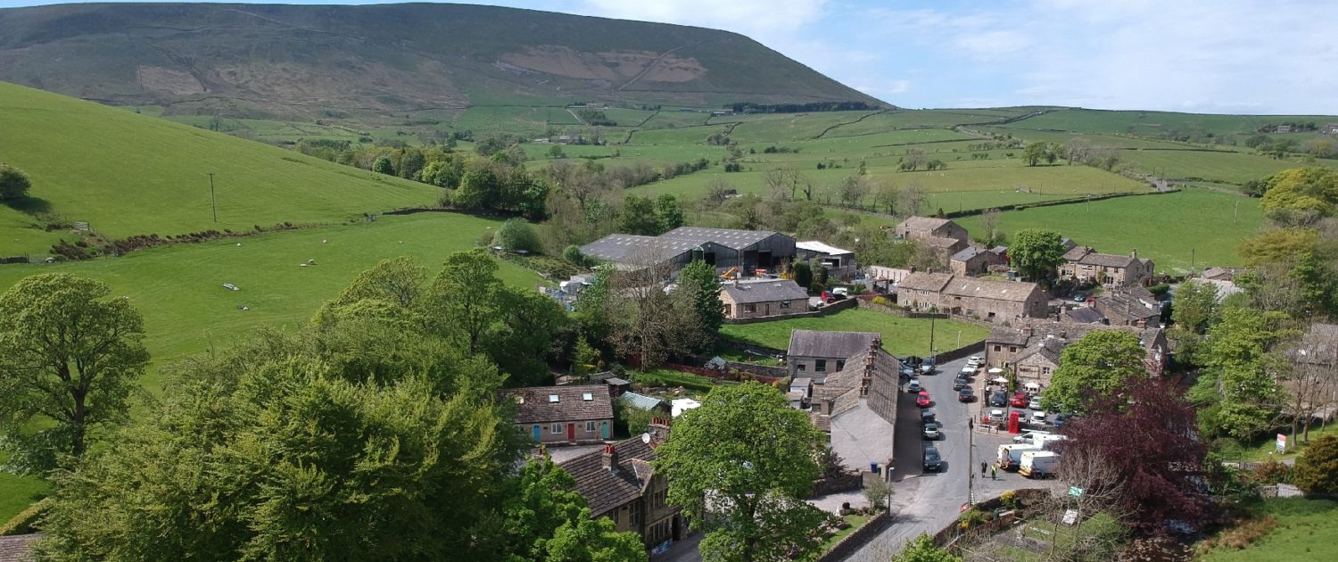
| Nearby pub | Pendle Inn |
| Nearby hotel |
")
")
")
")
")
")
Along the way (things to look out for on your OS map)
Barley, Barley Green, Lower Ogden Reservoir, Fell Wood, Ogden Clough, Buttock, Beacon or Big End, Pendle House, Pendle Side, Barley Lane.
