Route info
| Postcode | BB7 3BJ |
| Map Reference | 53.960550, -2.567752 |
| Low Point | 131 m |
| High Point | 431 m |
| Distance | 11.36 km – 7.1 miles |
| Difficulty | Medium |
| Cows | Not today |
| Dogs | Sheep about today |
| Nearby pub | |
| Nearby hotel |
Alternate Route
Other Links
Map
Photos
")
")
")
")
")
")
")
")
")
")
")
")
")
")
")
")
")
")
")
")
")
")
")
")
")
")
")
")
")
")
")
")
")
")
")
")
")
")
")
")
")
")
")
")
")
")
")
")
")
")
")
")
")
")
")
")
")
")
")
")
")
")
")
")
Tim writes (04/05/2020): This Trough of Bowland walk up to Whin Fell was done in March 2010. I have lost the map with all the files when I moved the site from Bowlandwalks, but it’s a fairly classic circular walk and easy to remap.
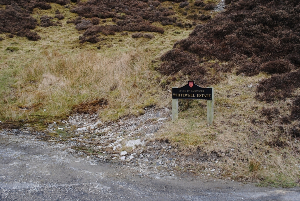
Looking back over the old photos (of which there are a ton – sorry about that) it appears we left the car quite a way up Trough Road. It is probably more advisable to park your car at Haredon or Langden, which are a little closer to Dunsop Bridge.
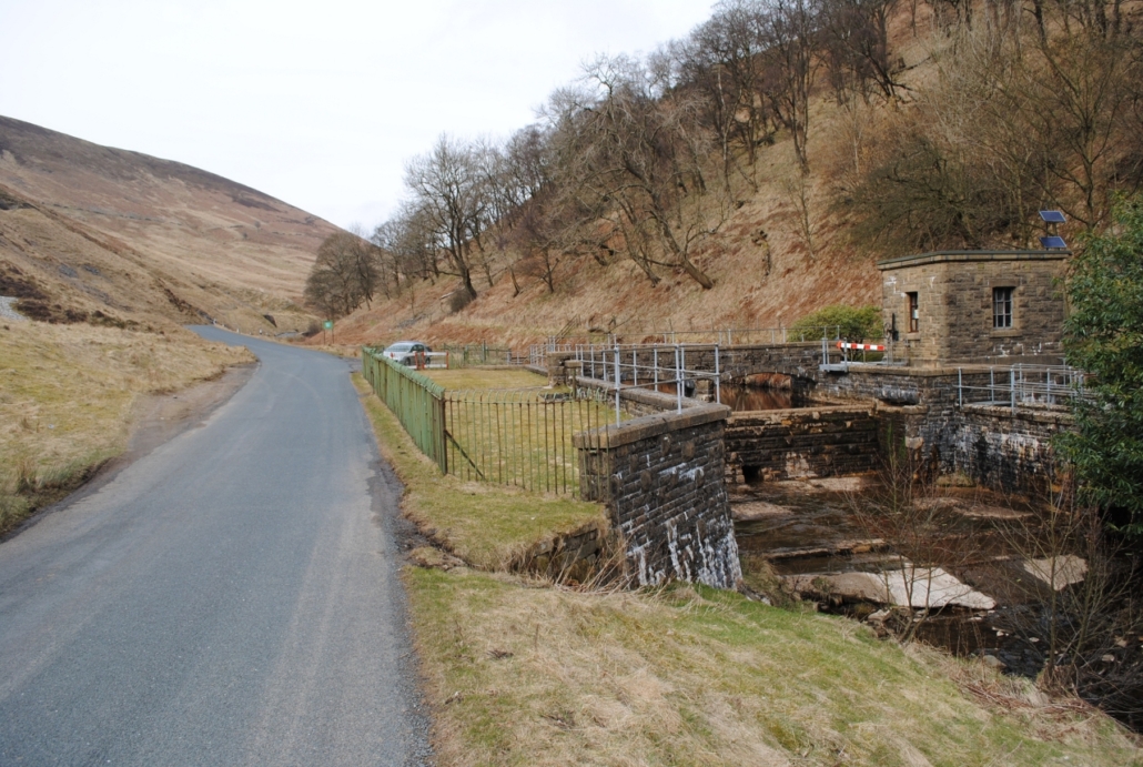
Off memory, we left the car next to the weir near the old quarry and turn off the road shortly afterwards by Trough Barn. There’s now a steady climb up by Trough House before reaching Whin Fell. There is a trig point on Whin’s Brow, which we’ve done before on another walk, but didn’t visit today.
There are some quite steep sections here so watch your feet and descend ‘Ouster Rake (Path)’ down to Brennand Farm. The views of the Bowland Fells are fantastic here, weather permitting.
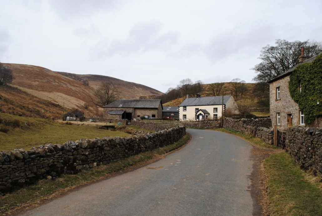
Take a right through the farm and follow the track by River Dunsop, almost until you get to Dunsop Bridge itself. As you get to the footbridge which leads into Dunsop Bridge, keep walking along the farm track and take right just before the buildings marked ‘Closes Barn’ on your OS map. It can be muddy on the farm so you could carry on along the farm track for a slightly longer walk if you wish.
Looking back at the photos we may have strayed a little off course just before Trough Road. This may have been a general navigation error – or Craig may have wanted to go and have a nosey at something, which he often did.
This fantastic Trough of Bowland walk is now northwards back to the car, passing Haredon, Smelt Mell and Langden.
| Postcode | BB7 3BJ |
| Map Reference | 53.960550, -2.567752 |
| Low Point | 131 m |
| High Point | 431 m |
| Distance | 11.36 km – 7.1 miles |
| Difficulty | Medium |
| Cows | Not today |
| Dogs | Sheep about today |
| Nearby pub | |
| Nearby hotel |
