Route info
| Postcode | BB12 9QG |
| Map Reference | 53.842871, -2.244431 |
| Low Point | 167m |
| High Point | 322m |
| Distance | 9.5 km – 5.95 miles |
| Difficulty | Easy |
| Cows | No |
| Dogs | Some restrictions on access land |
| Nearby pub | Sparrowhawk |
| Nearby hotel | Sparowhawk |
| Links | Fence – Wikipedia |
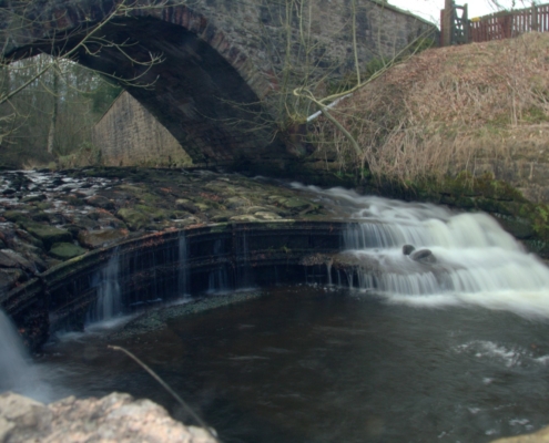
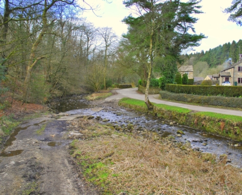
Take a left (northwest) onto the road and continue along it for about 200m. On the right side of the road there’s a sign pointing to Thorneyholme Farm. Follow the sign and pass through the cottages until you get to gate on the left following a brook called White Hough Water. This is a nice section of the walk which finishes at a weir under the bridge at Whitehough. We decided to cross over the ford in the river but a more sensible route might be to follow the road to the right.
Rather than turning into the hamlet of White Hough we followed the brook for roughly 100m and hopped over the wall following the path into the plantation, which ascends quite steeply. Once through the plantation we discovered that the permissive footpath leading up to the nature trail in Aiken Wood had closed. This was a bit of a blow because I had to completely change the planned route. It just goes to show how important it is to have a map with you.
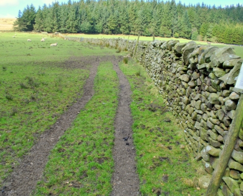
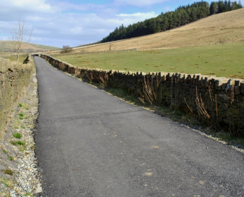
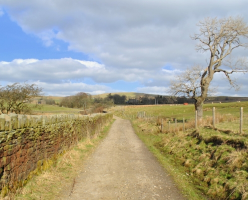
We took a left towards Barley keeping the plantation to the left. After the kissing gate carry on bearing slightly right towards the stile built up on rocks. We missed the route a little here according to the Ordnance Survey map generally headed in the right direction towards Barley Lane and Lower Black Moss Reservoir. Once at the road there are some steps built into the wall, climb over and turn right.
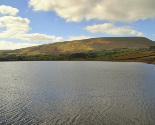
Stay on Barley Lane until Lower Black Moss Reservoir and turn right towards Upper Black Moss Reservoir, shortly afterwards the entrance to the Pendle Sculpture Trail in Aiken Wood is on the right. I wanted to go up here originally but the closed path put a stop to this.
After about another 500m heading northeast up the road there is a footbridge over a small stream, leading to a derelict building. The muddy path goes around the building, leading to a stile, into a small field with newly planted trees. Shortly after you come to a metal gate and go back onto the road. I couldn’t help but think it might have been easier to stay on the road here.
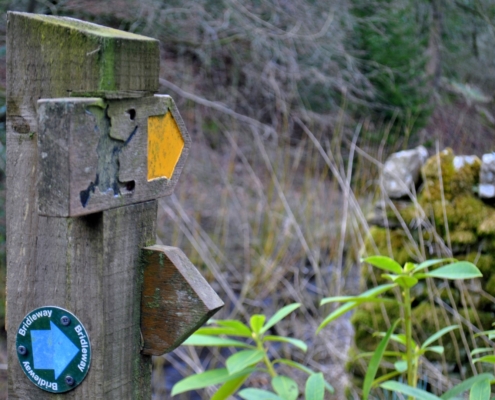
After turning right on the road there are a few cottages before a fingerpost sign directs you to take a right into Black Moss Farm. We made another slight error here because a wall had been removed since the map was printed and it made things a little confusing.
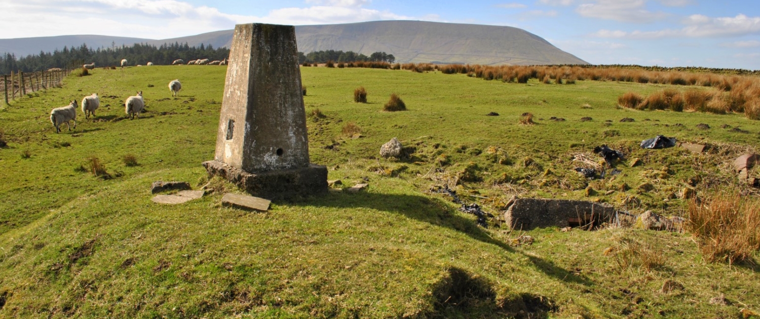
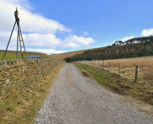
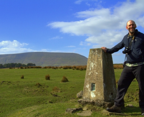
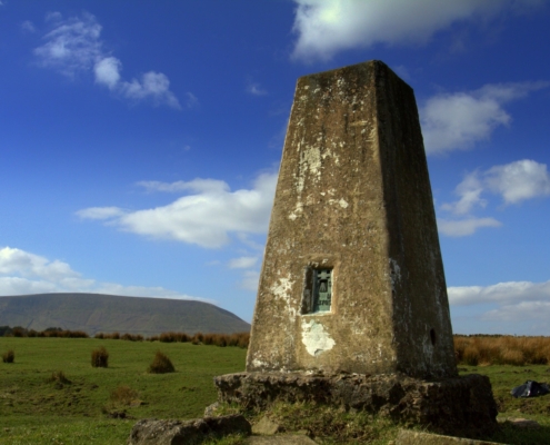
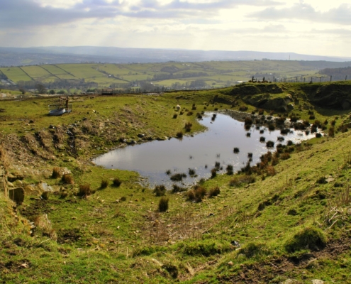
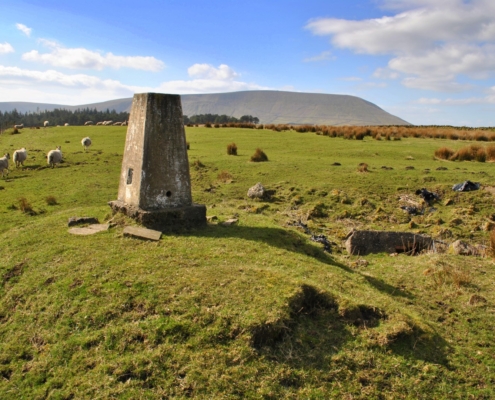
At the top end of the farm there are steps through the drystone wall. We made our final error today missing the path leading to Stang Top Road and instead went straight through the farm which leads to Stang Top Moor trig point and old quarry. It’s a little scruffy up here being a working farm but the views make up for this. On one side you have the urbanisation of Burnley and the other you have Pendle Hill and the moors.
There’s a fence leading back down towards the Outdoor Centre at White Hough. The path splits into two, we chose the right. There is a metal gate in the wall leading onto a short section of trees and after about 50m there is a wooden gate. There is another short section of a path leading to the road, take a left and you’ll se Whitehough Outdoor Centre.
Walking through the hamlet of Whitehough the road takes you back to the bridge over White Hough Water and this time we walked over it, rather than through it. And rather than taking the same route back we walked up the road (called Narrowgates) and turned left onto Barley New Road.
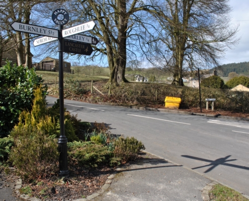
Time was getting on so we stuck to the roads for a while and after about 500m we rejoined the crossroads at Thornleyholme but this time we climbed the steep Ridge Lane. Eventually the road merges into Noggarth Road and there is a handy cafe if you want refreshments. I think it is called ‘Top Shop’ but marked on the map as Noggarth Cottage.
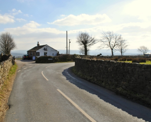
Here we turned onto Sandyhall Lane, where the path descends into a lane with some very nice houses. After not so long the lane meets Wheatly Lane Road, turn right and follow the road back to the Sparrowhawk.
This was a lovely walk up to Stang Top Moor.
Map
Photos
Along the way (things to look out for on your OS map)
Marles Hill, Noggarth End Farm, Higher Graystones Farm, Dole House, Lower Croft Farm House, Slacks Wood, Barley, Overhouses Farm, Lower Black Moss Reservoir, Upper Black Moss Reservoir, Black Moss Farm, Stang Top Moor Trig, Sculpture Trail, White Hough, Thornley Holme, Ridge Lane, Noggarth Cottage, Sandy Hall.

