Explore Bowland
  • Home
  • Walks
    • Bowland Walks
    • Other Walks
  • Gallery
    • Bowland Photos
    • Aerial Photos
  • Local information
    • Things to do
      • Andy Goldsworthy Clougha Sculpture
      • Beacon Fell
      • Bowland Wild Boar Park
      • Brock Bottom
      • Clitheroe Castle and Museum
      • Cobble Hey Farm & Gardens
      • Cromwell’s Bridge
      • Eat – Drink – Sleep
        • Camping
      • Gisburn Forest
      • Gisburn Forest Bike Trails
      • Longridge Fell Cycling & MBT
      • Pendle Ski Club
      • Sawley Abbey
      • Singing Ringing Tree
      • Stargazing
      • Trough of Bowland
      • Trough of Bowland cycling
      • Waterfalls
      • Explore Bowland
    • Towns & Villages
      • Abbeystead
      • Barley
      • Bentham
      • Bolton-by-Bowland
      • Calder Vale
      • Caton-with-Littledale
      • Chipping
      • Clitheroe
      • Dolphinholme
      • Downham
      • Dunsop Bridge
      • Gisburn
      • Hornby
      • Hurst Green
      • Lancaster
      • Longridge
      • Newton-in-Bowland
      • Quernmore
      • Ribchester
      • Sabden
      • Sawley
      • Scorton
      • Slaidburn
      • Waddington
  • Get in touch
    • Blog
    • Sponsor a page
  • Search
  • Menu Menu
  • Twitter
  • Facebook
  • Instagram
  • LinkedIn
  • Beacon Fell

Beacon Fell

Beacon Fell Country Park is one of the country’s oldest.  The 271 acres of woodland was acquired by the council in the late 60’s and opened up to the public in 1970.

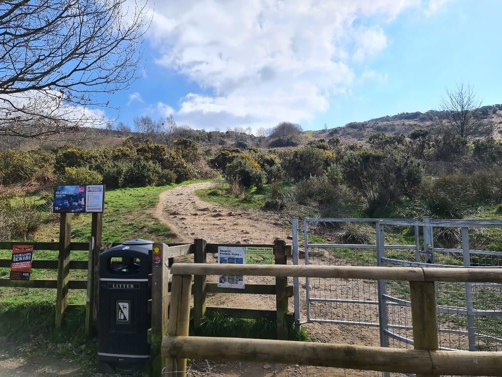
Our route here is for guidance only.  The best thing to do on Beacon Fell is to just walk where you chose.  There is a ring road around the fell so you can always find your way back to the car park.

Refreshments and information are available at the Bowland Visitor Centre and cafe.  More information on Beacon Fell here.

History of Beacon Fell

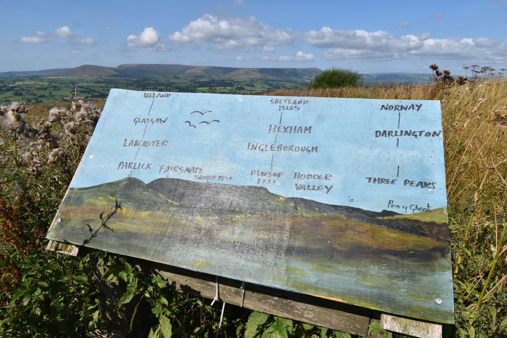
The distinct shape and proximity to the Irish Sea made Beacon Fell a perfect location for a beacon, which was installed to warn of the incoming Spanish Armada in the 16th century.

Route info

Postcode PR3 2EW
Map Reference
53.880260, -2.666369
Low Point 250m
High Point 200m
Distance 2.5km
Cows None
Dogs Some restrictions on access land
Nearby pub
Nearby hotel

Explore Bowland

Explore Bowland

Tweets by bowlandwalks

DUNSOP BRIDGE WEATHER

Site supported by

Search the site

All images and material on this website are copyright to Explore Bowland 2020 (© Explore Bowland 2020). If you wish to use any image or material please email bowlandwalks@gmail.com for a licence fee. Unauthorised use of images or materials will be invoiced at our usual rate.
  • Twitter
  • Facebook
  • Instagram
  • LinkedIn
  • Home
  • Walks
  • Gallery
  • Local information
  • Get in touch
Scroll to top